Complete an entire circuit for inspection or storm damage assessment without landing or putting employees at risk

Fly hundreds of acres from one location to minimize detection time and optimize search efforts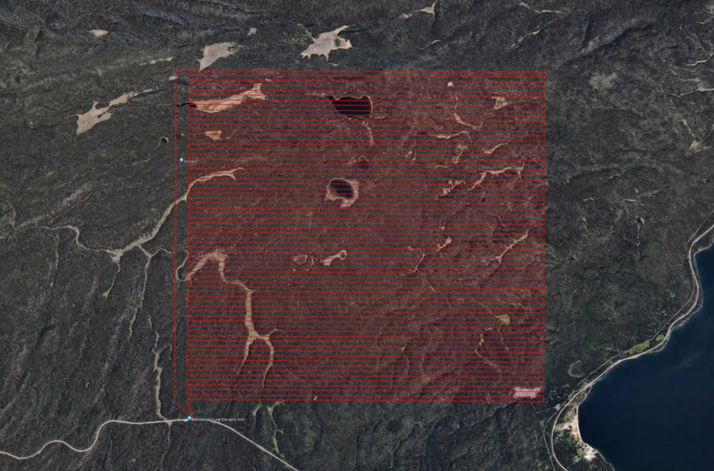
Cost-effective monitoring of long pipelines

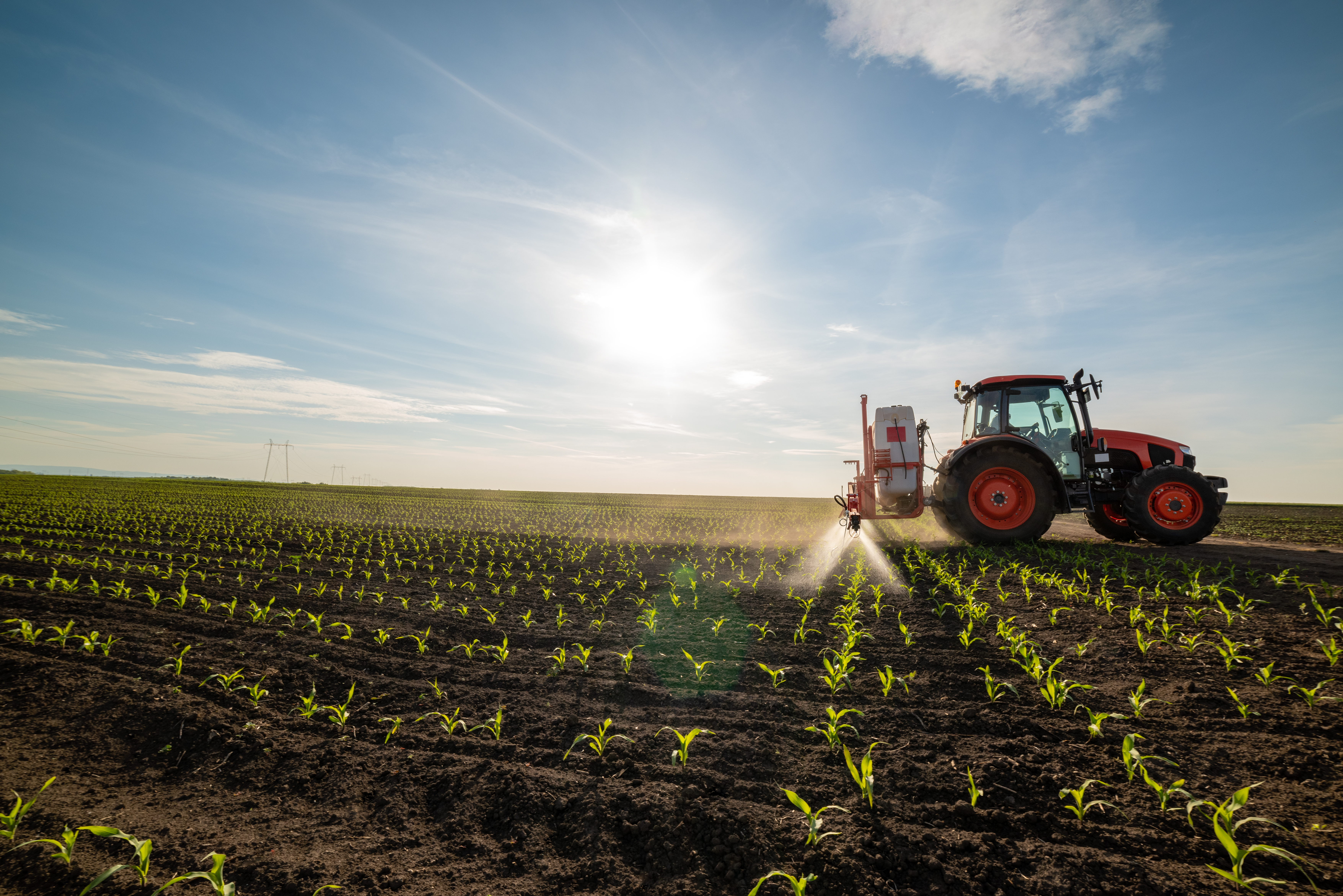
Cover more crops at once, getting through fields faster and having a bird’s eye view, all in one flight
Enable precision silviculture by inspecting your entire stand in one flight

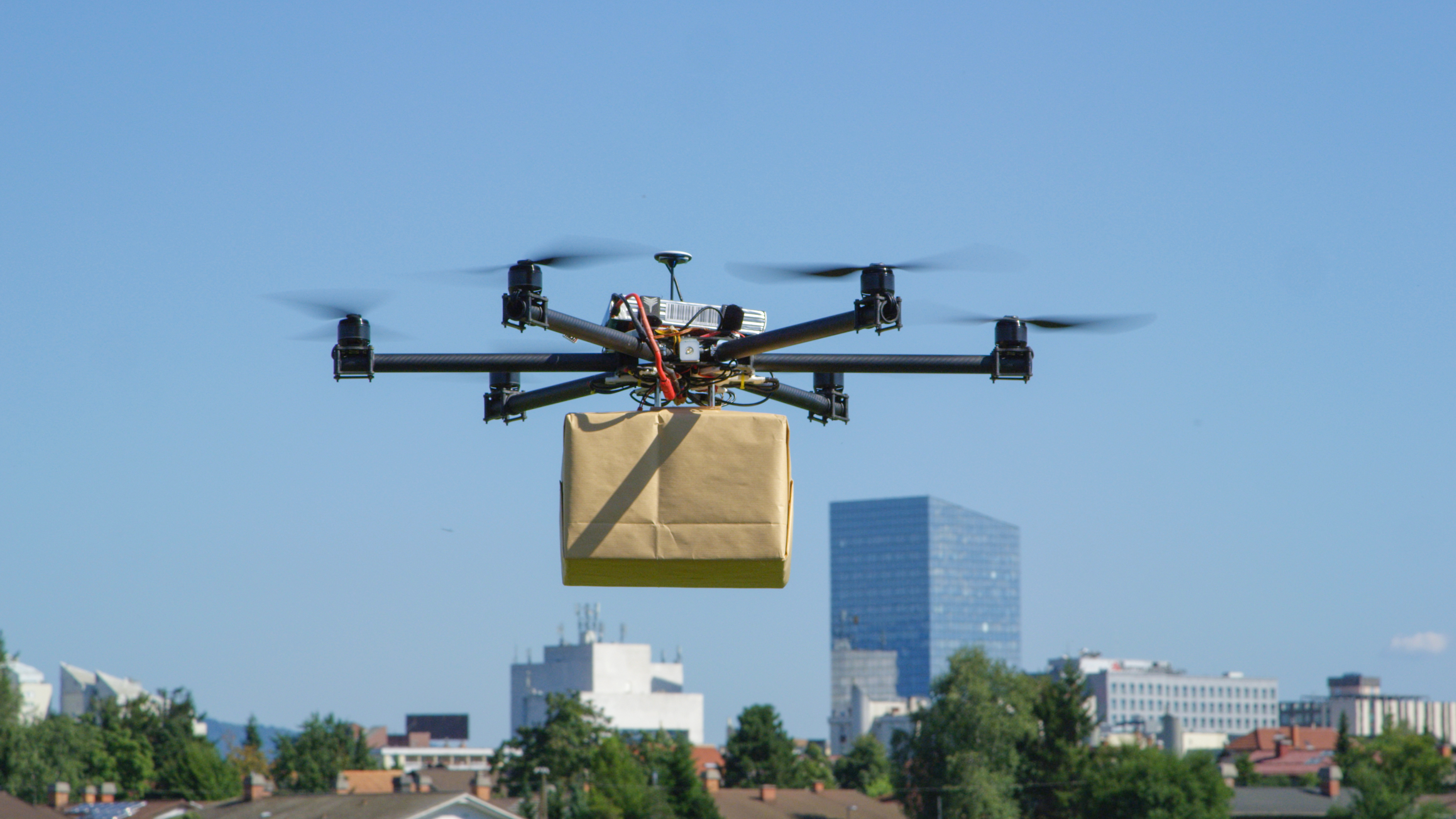
When regulations permit, efficiently fly your packages beyond the last mile